5 walks in and around Pitlochry

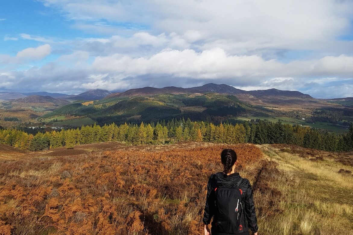
If you’re looking for walks around Pitlochry that let you explore the stunning countryside without having to travel too far, you’ve come to the right place.
This article lists five walks in and around Pitlochry that vary in length, yet provide the ultimate outdoor experience.
Why not hike a hill, stroll along a peaceful riverbank, or seek out a magical waterfall.
Each of these walks give you a different perspective of Pitlochry and are all easily accessible from the town centre.
Pitlochry – the gateway to the Highlands!
Pitlochry is a bustling tourist destination often called the ‘gateway to the Highlands’. Nestled into the hills of Highland Perthshire the town is located 70 miles north of Edinburgh and has convenient train and bus links.
As Highland Perthshire’s largest town, Pitlochry boasts a rich history dating back to Victorian times, gaining prominence after a visit from Queen Victoria. But despite its historical allure, Pitlochry offers more than just a trip down memory lane.
There are plenty of attractions, such as exploring the Pitlochry Dam and Fish Ladder, catching a show at the Festival Theatre, or sampling whiskies at one of the town’s distilleries.
However, what makes Pitlochry such a wonderful destination is its abundance of easily accessible walking trails that showcase the breathtaking surrounding countryside.
From conquering peaks like Ben Vrackie, marveling at natural wonders like the Black Spout waterfall, to exploring peaceful forests and riverside paths. There’s something for everyone.
In this guide you’ll find:
Black Spout Waterfall – 3 mile walking trail
Ben Vrackie – 7 mile hiking trail
Clunie Path – 8 mile hiking trail
Pitlochry Four Waters Walk – 9 mile walking trail (with a 5-mile option)
Linn of Tummel & Killiecrankie – 10 mile walk trail (with a 5-mile option)
Walking trails around Pitlochry
Here we share five walks in and around Pitlochry that highlight the stunning forests, hills, lochs, rivers, and waterfalls that grace this charming Highland town.
Whether you’re a seasoned hiker or simply looking to immerse yourself in nature, Pitlochry offers an unforgettable outdoor experience for all.
Black Spout Waterfall

3-mile circular woodland and countryside walk
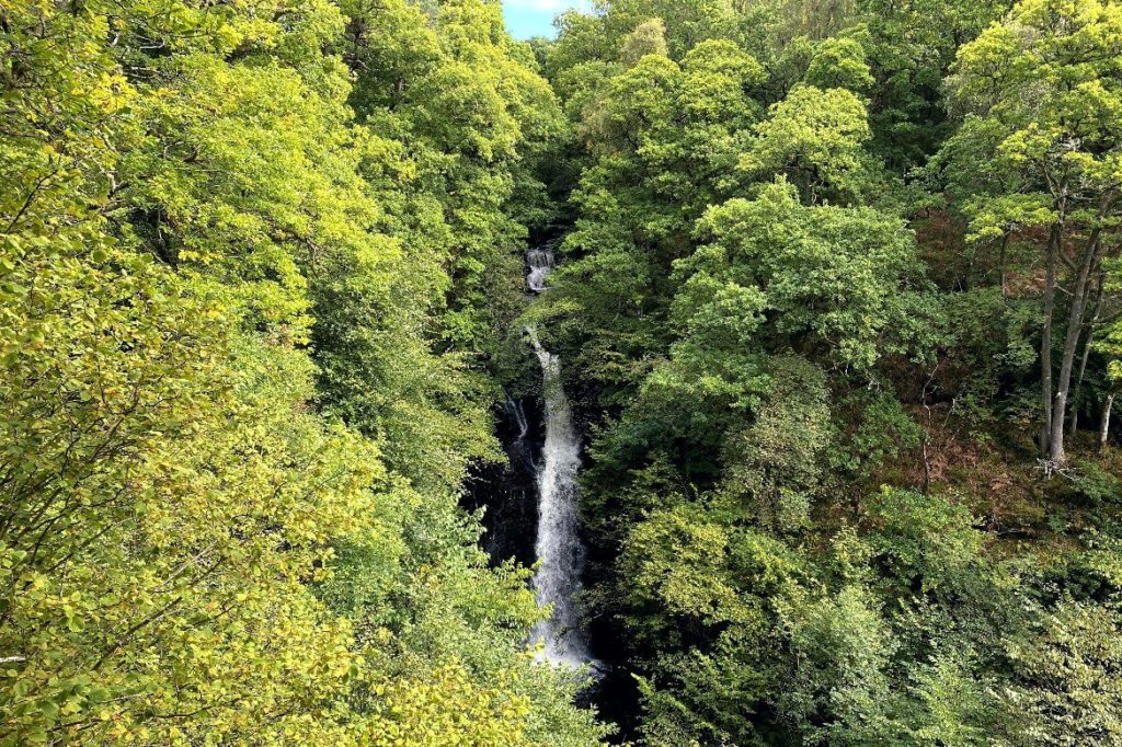
The Black Spout waterfall walk is a popular short walk from Pitlochry town centre, that follows woodland trails through the Black Spout woods and lead to one of Highland Perthshire’s best waterfalls.
The route is just over 3 miles, taking 1-2 hours to complete, and comprises woodland trails, farm tracks, and a small section of minor road.
The walk passes by Pitlochry’s two whisky distilleries, Edradour and the Blair Athol Distillery and Visitors Centre, making it an excellent pre-whisky tasting activity.
The highlight of the walk is the 60-meter-high Black Spout waterfall, which can be observed across the gorge from a wooden viewing platform.
However, the diverse trails guide you through beautiful woodland and across picturesque farm tracks that offer sweeping views of Ben Vrackie and the surrounding hills of Pitlochry.
Black Spout Waterfall walking map
Ben Vrackie

7-mile circular hill walk
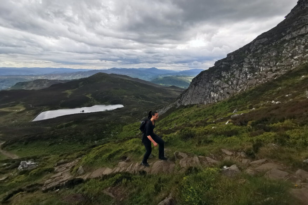
Ben Vrackie is one of the most popular hill walks in the area, owing to its proximity to Pitlochry’s town centre.
Standing at 2757 feet, it falls just short of Munro status, but it is still considered one of the more challenging Corbetts in Scotland.
The hiking route for Ben Vrackie is a 7-mile trail composed of well-maintained woodland and moorland paths, with a short steep section that leads you to the summit. However, once you’re at the top, the views make the effort well worthwhile!
It takes 3 to 4 hours to hike and is perfect for a morning or afternoon outing when exploring the area. The trail starts at the Ben Vrackie car park, about a mile from the town centre, making it easy to access, even if you arrive at Pitlochry train station.
Once you’ve finished the hike and are making your way back to town, be sure to stop in at the Moulin Inn & Brewery. The 17th-century pub has been quaintly restored with an open fire and stone walls and even boasts its very own brewery, which was the first microbrewery in Scotland.
Note: As with any walking in Scotland, always check the weather forecast, before doing this walk and take the necessary gear for the time of year.
Ben Vrackie hiking trail map
Clunie Path

8-mile circular hill walk
The Clunie Path walk is another fantastic route that takes you through Pitlochry’s surrounding hills but with much less effort and elevation compared to Ben Vrackie.
Starting from Pitlochry town centre, the circular walk ascends into Clunie Woods to the southwest of Pitlochry, leading you to open moorland with breathtaking views towards Tummel.
Covering around 7.8 miles, this walk takes 2-3 hours to complete and consists of a mix of woodland trails and moorland single track. It’s an ideal stroll for a crisp winter morning if you wish to explore the beautiful Scottish countryside without straying too far from town.
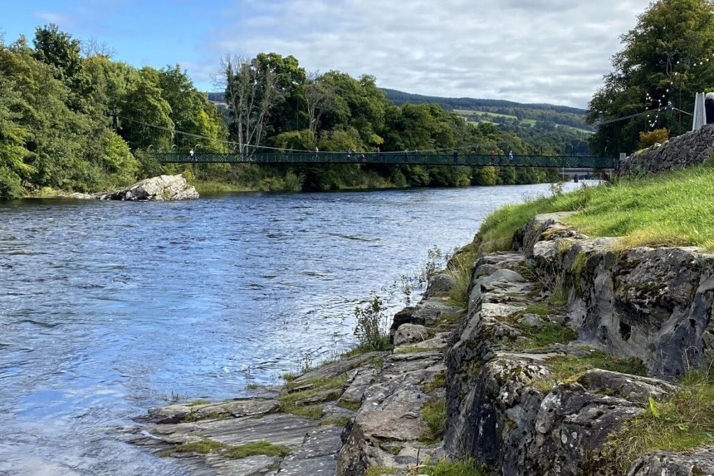
On your return from the walk, you can follow the riverside trail and loop back into town via Pitlochry Dam. You can walk across the dam which features a fascinating fish ladder and provides stunning views of Loch Faskally. Also, there’s an impressive, grand-designs-esque dam visitor center with a charming café overlooking the dam and River Tummel.
Clunie Path hiking trail map
Pitlochry Four Waters Walk

9-mile circular woodland, riverside, and countryside walk
– for the 5-mile option read the tip below
This walk includes several walking trails around Pitlochry, encompassing four of its beautiful locations: Loch Faskally, the River Tummel, Loch Dunmore, and the Black Spout Waterfall. If you enjoy walking in peaceful woodlands with stunning viewpoints across lochs, rivers, and waterfalls, then this walk is perfect for you!
The trails on this walk mostly consist of woodland and riverside paths, along with some minor roads. It can be completed in half a day or you can make a full day of it stopping at the cafes and restaurants dotted along the route.
Around Faskally Loch, you’ll find the Lochside Cafe, and beside the River Tummel, you can stop at the Pitlochry Dam Visitor Centre Cafe, the Pitlochry Festival Theatre, or indulge at the Port na Craig restaurant overlooking the River Tummel. On the final section towards the Black Spout waterfall section, you’ll pass by the Blair Atholl Distillery.
Tip! This walk can also be broken up into sections as it passes near the town centre at around mile 5, before heading up to the waterfall.
Pitlochry Four Waters walk map
Linn of Tummel & Killiecrankie

10-mile circular woodland and riverside walk
– for the 5-mile option read the tip below
The Linn of Tummel and Killiecrankie walking route leads you around Loch Faskally, Killiecrankie, and the enchanting Linn of Tummel falls.
Start the walk from either Pitlochry town centre or the National Trust for Scotland Killiecrankie Visitor Centre. The route features well-maintained trails and minor roads, taking 4-5 hours to complete. What makes this walk particularly appealing is the varied scenery at every turn.
The route meanders along the trails surrounding Loch Faskally, nestled amidst beautiful pine forests. It includes a visit to the stunning falls at the Linn of Tummel and a stop at Killiecrankie’s historic Soldiers Leap, where legend has it that a 17th-century soldier leaped 18 feet across the river while fleeing the Battle of Killiecrankie to evade capture by the Jacobites.
There are also a couple of cafes along the way, such as the Lochside Cafe at the Pitlochry Boating Station and the Killiecrankie Visitor Centre. Alternatively, if the Scottish weather permits, there are plenty of spots for a picnic.
Tip! If 10 miles is a bit too far, another way to complete this walk is catch the number 87 bus towards Struan, from Fishers Hotel in Pitlochry to the Killiecrankie visitor centre. This halves the walk to about 5 miles, but you’ll still walk past the Soldiers Leap, Linn of Tummel, and Loch Faskally.
