Cycling the Hebridean Way: A six day guide
The Hebridean Way is an incredible cycling route spanning 185 miles across ten of Scotland’s Outer Hebrides islands.
Thanks to the mostly flat landscape of the Hebrides, cyclists of all levels can enjoy this cycling adventure, whether you’re embarking on your very first bikepacking trip or seeking out a unique long-distance cycle route.
The route takes around a week to complete. But if you have the extra time and want to fully immerse yourself in the beauty of these islands, you can extend your adventure even further. The choice is yours!
So, why should you add the Hebridean Way to your cycling bucket list? Read on to discover what makes cycling the Hebridean Way route such a fantastic long distance bike route.
In this guide you’ll find
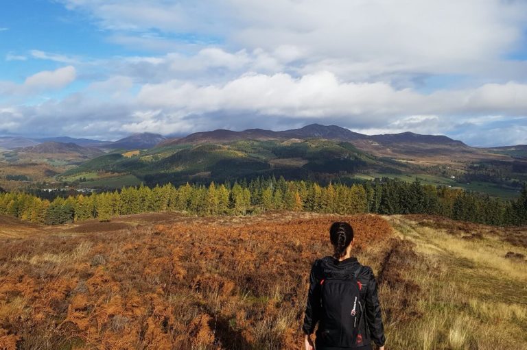
Highlights cycling in the Outer Hebrides

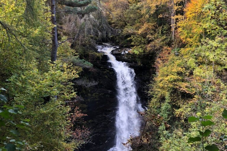
Stunning scenery
Situated in the North Atlantic Ocean to the west of Scotland, the Hebrides are full of natural beauty, wildlife, and historical treasures.
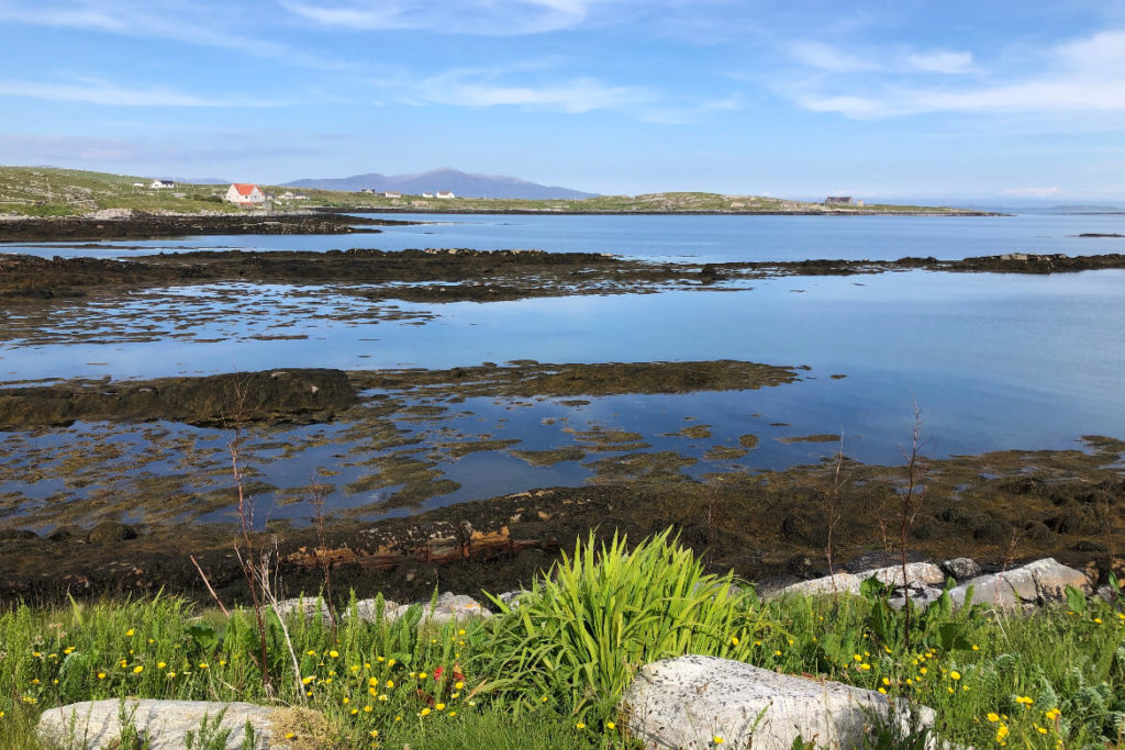
From dramatic coastlines to pristine white beaches, sparkling lochs to rugged moorlands, and picturesque machair grasslands.Every mile cycled reveals stunning landscapes.
Rich heritage
Immerse yourself in the rich cultural heritage of the Hebrides as you encounter ancient standing stones, Celtic crosses, and historical landmarks like the breathtaking Calanais Stones on the Isle of Lewis.
Along the way, you’ll pass through charming villages where friendly communities embrace their traditional Gaelic language and customs.
Nature’s paradise
Nature enthusiasts will be in paradise in the outer Hebrides.
Keep your eyes peeled for majestic eagles soaring overhead, seals basking on the shores, and playful otters frolicking in the crystal-clear waters.
Birdwatchers will rejoice at the abundance of seabirds nesting on the cliffs, including adorable puffins, graceful guillemots, and elegant gannets.
The islands also boast a thriving habitat for rare flora, adding an extra layer of wonder to your journey.
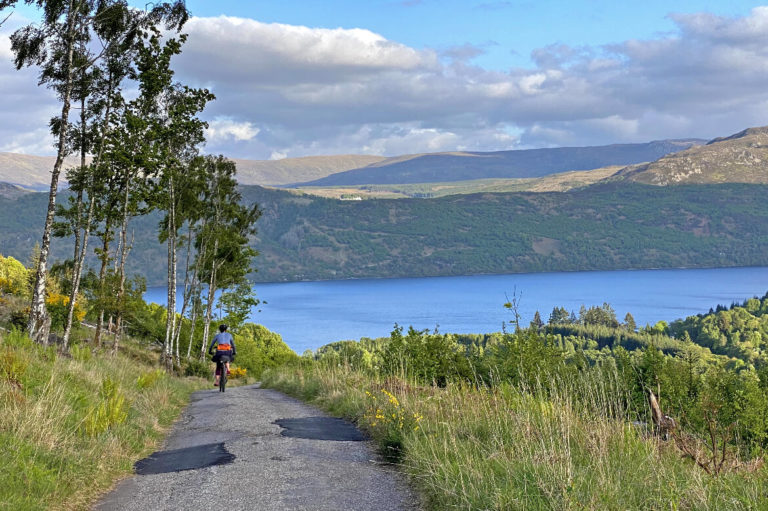
Travel under your own steam
When it comes to exploring this remarkable part of Scotland, nothing beats the freedom and joy of traversing it on two wheels.
The Hebridean Way is an epic adventure, where natural splendor and cultural heritage intertwine, creating an unforgettable experience.
Map of the Hebridean Way
A six day guide to cycling the Hebridean Way
The following guide is based on our experience completing the Hebridean Way in six days, with some detours off the main route.
You can adjust and personalise the itinerary based on your preferences, and there are even more detours available that we haven’t included.
With the detours the total distance of our route increased to about 260 miles. On average, we covered around 40 to 50 miles per day.
Please also note the itinerary doesn’t account for the time it can take to travel to and from the islands. In our case, we completed this travel portion on bike and train, which added around four days to our overall journey.
However, if you choose to travel by car or get a transfer to and from the mainland ferry ports, it could potentially take less time.
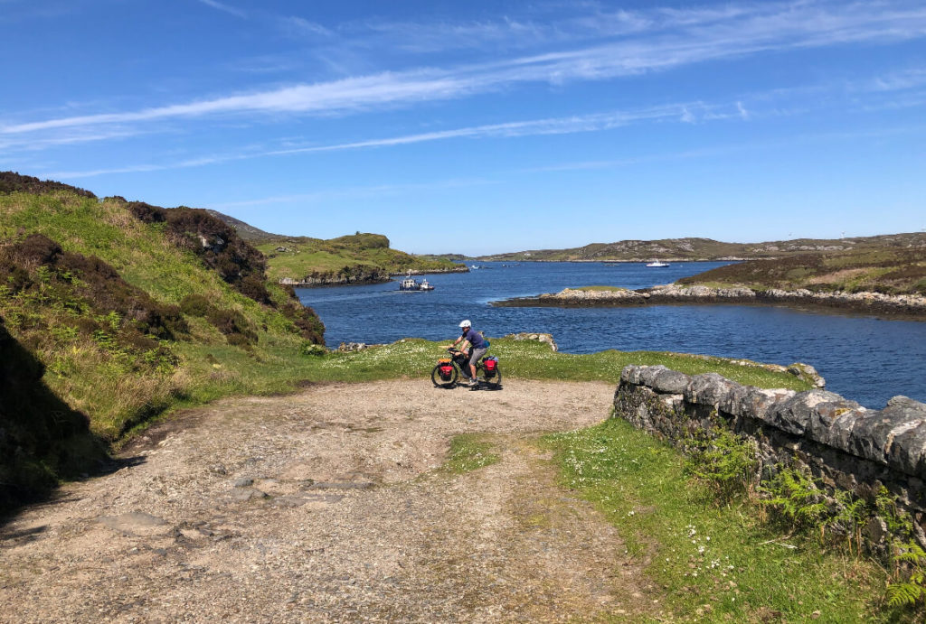
Day 1: Vatersay, Barra, Eriskay, South Uist
Four islands, two causeway crossings, one ferry crossing
Distance: 45 miles
Total Elevation: 2,450 feet
Vatersay – Island 1

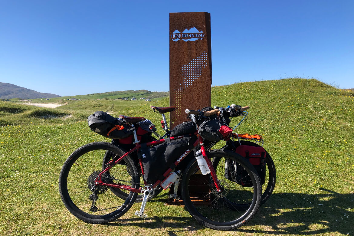
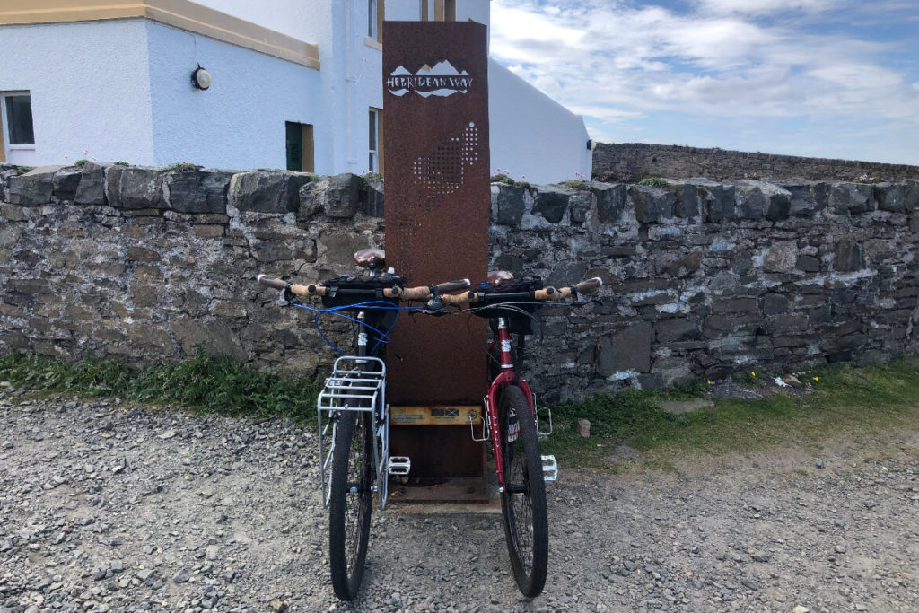
The Hebridean Way officially starts at Traigh a Bhaigh, Vatersay East Beach, a 13-mile ride from where the ferry drops you off on Barra.
Once you’ve taken your obligatory photo at the Hebridean Way marker, head back north towards the Isle of Barra.
Along the way, you’ll pass the fascinating World War II Catalina flying boat wreckage and memorial, along with an abundance of beautiful beaches.
The roads are mostly flat and single track with passing places to pull into to let traffic pass.
Tip!
If you’re up for discovering some hidden gems on Vatersay, be sure to venture further south to Bagh a Deas (South Bay).
This charming spot is one of Vatersay’s lesser-known beaches, and when we were there appeared to be a favourite with the local Coos.
Barra – Island 2
Barra is the second island on the Hebridean Way and can be reached via a short causeway from Vatersay.
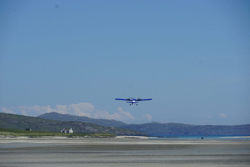
One of the most unique attractions on this isle is Barra Airport at Traigh Mhòr (big beach). Home to the worlds only scheduled flight runway!
Keep an eye out for Logan Air’s flight status, so you can time your passing of the airport when a plane is due to land or take off—it’s quite a sight to watch and was definitely one of the highlights of our day.
Eriskay – Island 3

Next up is Eriskay which can be reached by embarking on a quick 40-minute ferry ride from Barra.
Even though it’s a small island spanning just three miles, this island still has some unique hidden gems.
One of the highlights of Eriskay is encountering the adorable Eriskay Pony, known to be the UK’s oldest and rarest breed of pony.
These gentle creatures can often be spotted grazing on the lush hills nearby, adding an extra touch of magic to your day.
But that’s not all! As we disembarked the ferry, we were greeted by the awe-inspiring sight of the majestic eagle soaring gracefully above us.
This magnificent bird of prey is a true symbol of the island’s natural beauty and biodiversity.
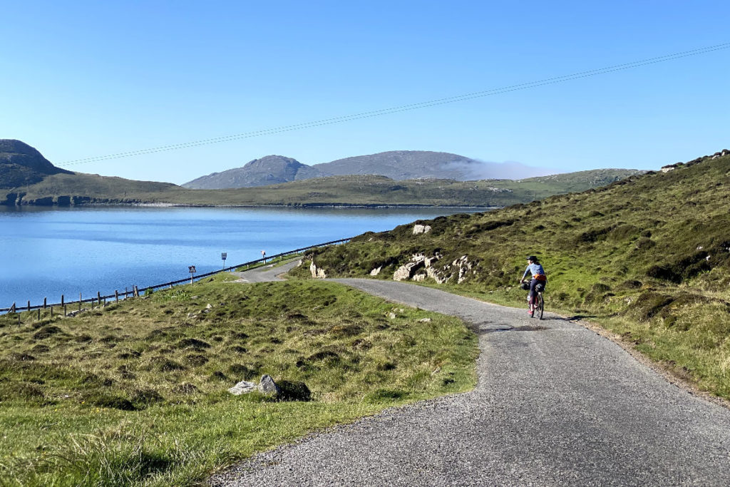
South Uist – Island 4

South Uist is connected to Eriskay by a causeway and stands as the second largest island in the Outer Hebrides.
The east coast of South Uist boasts impressive mountains, while the west coast dazzles with vast white beaches.
As you cycle along the picturesque west coast between Kilbride and Kildonan, try to venture off the main road and ride along the scenic coastal path.
This meandering path, with a mix of gravel and sandy tracks, guides you through beautiful machair meadows which border the white sandy beaches.
Also, if you happen to arrive during low tide, keep your eyes peeled for seals basking on the rocks!
Tip!
Most cyclists choose to end the day at Kilbride in the south of the island, where you’ll find the Kilbride campsite and Polochar Inn hotel.
However, if you decide to ride a bit further north and end your day around Kildonan beach, there are options to stay at some lovely B&Bs or even find a spot along the beach for a wild camping experience.
Day 2: South Uist, Benbecula, Grimsay, North Uist
Four islands, three causeway crossings
Distance: 54 miles
Total Elevation: 2,600 feet
South Uist – Island 4 continued

Heading north from Kildonon there are two fantastic detours that get you off the main route and let you explore the rugged hills and nature reserves on the east side of the island.
The first detour leads to Loch Eynort – a short, scenic single-track road that follows the loch out to the sea.
It’s a beautifully quiet place to ride with barely anyone else on the road and is well-known for spotting playful otters. It’s a real treat!
The second detour leads you to the RSPB’s Loch Druidibeg nature reserve. Here you’ll find several stopping points that lead to wonderful bird-watching spots.
If you continue to the end of the road, you’ll reach the Wizard Pool, a charming anchorage where you can watch local fishermen return from their morning at sea.
Benbecula—Island 5

Next up is Benbecula. This 7-mile-long island, known as the ‘Mountain of the Fords,’ is connected to both South Uist and North Uist by two causeways.
Similar to South Uist, the route through Benbecula treats you to stunning coastline views on the west side of the island.
However, the star of the show is Rueval, a pointed peak that proudly rises from the rocky landscape on the east side.
Grimsay – Island 6

The small island of Grimsay is famous for its quality lobster and seafood, which you can taste at the delightful NAMARA Seafood Café located at Kallin Harbour.
Although it’s a 6.5-mile loop detour off the main route, it’s well worth a visit as the food is fantastic!
North Uist—Island 7

Finally, you cross the last causeway of the day and arrive on North Uist.
The landscape of the tenth largest island in the Hebrides, is characterised by its machair-lined beaches on the west coast and peat bogs and lochans on the east coast.
As the second day nears to an end there are a couple of options for the night. The main Hebridean Way route suggests cyclists stop at Clachan on North Uist.
However, we discovered a charming campsite located 3.5 miles before Clachan. Moorcroft Holidays campsite offers tent pitches and camping pods overlooking a secluded bay.
Day 3: North Uist, Berneray
Two islands, one causeway crossing
Distance: 41 miles
Total Elevation: 4,750 feet
North Uist—Island 7 continued

After leaving Moorcroft you’ll first pass the Trinity Temple at Carnish.
This medieval monastery has a fascinating history, although it was unfortunately destroyed during the 16th century reformation.
While much of it now remains in ruins, there have been some restoration efforts to preserve this significant monument.
Next on the route is a delightful stop at the Hebridean Smokehouse in Clachan.
The smokehouse has been perfecting the art of smoking since 1987, and their delicatessen is a treasure trove of delicious treats!
We stocked up on Whisky Barrel Oak Smoked Salmon, Scottish cheese, and oatcakes and tucked into them later in the day at a picturesque picnic on the beach.
About 8 miles further north you’ll arrive at the turning point for the Balranald Nature Reserve and visitor center.
Here you can learn about the local crofting culture and stroll around the 3-mile reserve, with its rich and beautiful machair and sandy dunes that serve as a home to a wide variety of birds.

You’ll notice this stretch of North Uist the island’s coast is a blanket of stunning beaches adorned with picturesque machair grasslands and dotted with charming Hebridean cottages.
One particularly popular beach is Clachan Sands, which is well-known as a camping spot for campervans.
Even though it’s popular, the views from the headland overlooking the bright white beach are absolutely breathtaking and well worth a stop.
If you’re lucky enough to be cycling during the warmer months, it’s also a great spot to dip your toes in the crystal-clear water and enjoy a refreshing paddle.
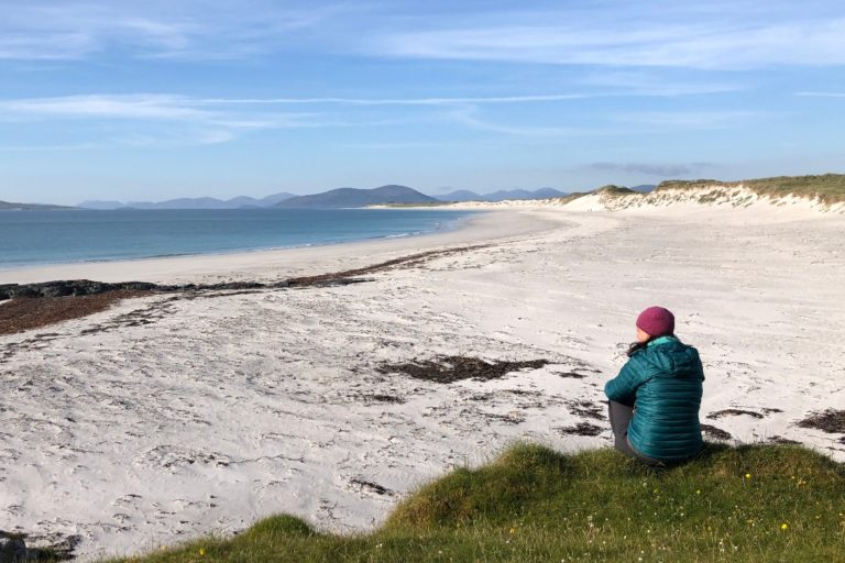
Berneray – Island 8

Berneray is home to two of the most stunning beaches in the Hebrides—East Beach and West Beach.
These beaches are so incredibly beautiful they were even mistaken for exotic beaches in Thailand. In fact, West Beach was voted the best beach in Europe in 2021.
But as you explore the captivating island of Berneray, you’ll discover more than just its stunning beaches.
Make your way to the village center, where you’ll find The Birlinn Yarn Company – an enchanting place where they create beautiful wool from their very own flock of rare breed Hebridean sheep.
It’s a must-visit for yarn enthusiasts and those seeking to support local artisans (just be sure to check their opening times before visiting).
If you haven’t had the chance to spot any seals on the previous islands, Berneray boasts a fantastic seal viewing point, where you can observe the adorable creatures basking on the rocks, undisturbed by the presence of curious onlookers.
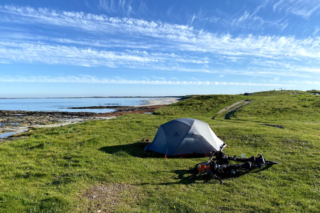
Berneray is an excellent place to spend the night before catching the early morning ferry the next day. You’ll find a good choice of B&Bs on the island and a cozy bunkhouse.
The beaches also make great spots for wild camping, as they are tucked away from houses. You may even find that you have the beach all to yourself, just as we did when we camped above West Beach for the night.
Day 4: Berneray, Harris
Two islands, one ferry crossing
Distance: 42 miles
Total Elevation: 3,400 feet
Harris – Island 9

Day 4 of the Hebridean Way explores the beautiful island of Harris, which is technically the southern part of Harris and Lewis, but many consider it to be its own island.
After a ferry ride from Berneray to Leverburgh, the route takes you north along the captivating west coast towards Tarbert.
As you cycle your way around the island, you’ll be treated to a landscape adorned with pointed peaks and breathtakingly bright white beaches.
Make a stop to have a nosey in the iconic abandoned bus at Scarista Beach—it’s quite a novelty!
Depending on your timings there’s also a great place to enjoy a spot of lunch.
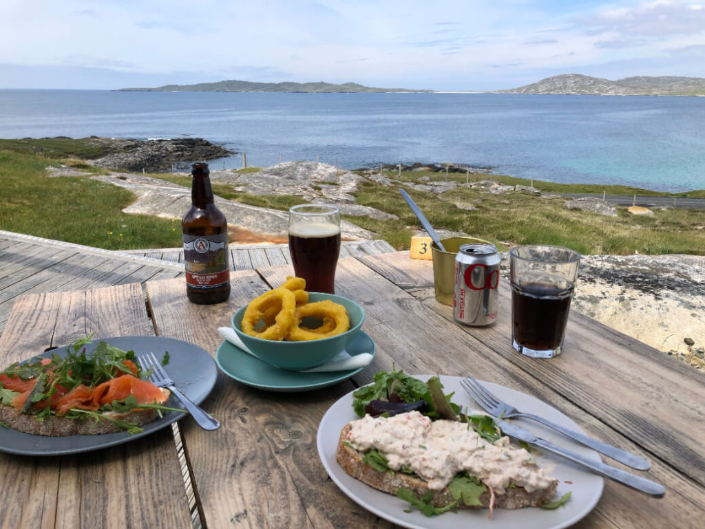
The Talla na Mara Restaurant, jointly run with the West Harris Trust, serves delicious local food and offers a breathtaking view of Niseaboist Beach and the Sound of Taransay.
After lunch be sure to stop at two of Harris’s most stunning beaches—Seilebost and Luskentyre Beach.
Then get ready for your first major hill climb as you make your way inland. After conquering the hills, it’s just a short ride to Harris’s main town – Tarbert.
However, if you’re eager to explore more of Harris, you can take a detour to the east and cycle around Scalpay.
This stretch of quiet road guides you along Scalpay’s charming bays and leads to the historic Eilean Glas Lighthouse – the oldest lighthouse in the Hebrides.
Tarbert is an excellent place to stop for the night, offering a variety of hotels and B&Bs to choose from.
It’s also home to the famous Isle of Harris Distillery where you can join a tour to see the whisky and gin croft in operation and sample a few drams.
Day 5: Harris, Isle of Lewis
Two islands, one causeway crossing
Distance: 41 miles
Total Elevation: 3,225 ft
Lewis – Island 10

After refuelling in Tarbert, get ready for a few more hill climbs across the captivating landscapes of North Harris, before you descend back down to sea level to Loch Seaforth.
Here is where you’ll cross from Harris to Lewis. As you continue you’ll pass through the centre of Lewis – a region that is much flatter compared to its hilly twin, Harris.
The landscape surrounds you with sweeping moorlands and charming peatlands dotted with picturesque lochans.
A highlight along this route is the Balallan Bistro at the Kinloch Historical Society. Housed in an old schoolhouse, it’s the perfect spot to take a break and enjoy a delicious lunch and visit the historical society’s museum which displays historic items from the Kinloch area.
Finally towards the end of the day you’ll arrive at the iconic standing stones at Callanish. An impressive Neolithic site that predates England’s Stonehenge by a staggering 5,000 years.
There are 11 locations with standing stones, and the best part is that they are all free to visit and easy to visit from the cycle route.
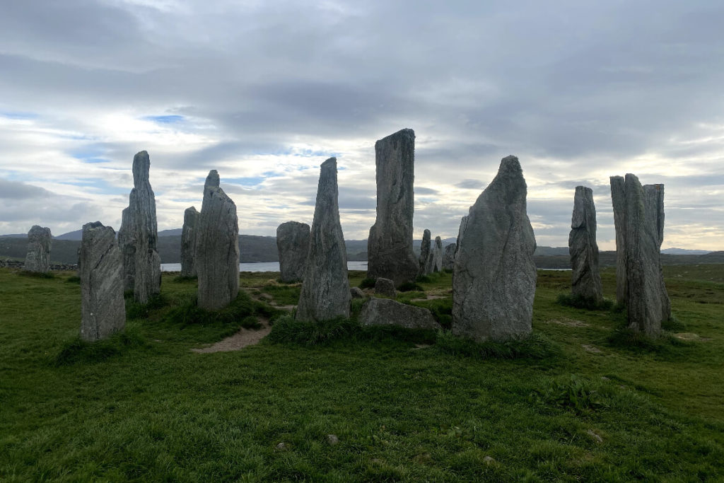
Among the most famous are Calanais I Standing Stones, where a visitor centre is located nearby.
Positioned in a cross formation, these ancient stones overlook the picturesque Loch Roag. One of the standing stones even reaches a height of almost 5 metres!
Tip!
Try and visit this site once the visitor centre is closed and the crowds have disappeared.
We managed to do this as we stayed at the Callanish Camping Pods, conveniently situated just below the towering Calanais I site.
This allowed us to visit the stones in the evening and have the entire place to ourselves.
Day 6: Lewis
One Island
Distance: 40.8 miles
Total Elevation: 3,525 feet
Lewis – Island 10 continued

As you set off from Callenish you’ll see the turning for the Black House Village about 9 miles in.
This living museum showcases traditional black houses and offers an opportunity to explore the museum and enjoy a refreshing break at the café.
Continuing on, just past Barvas, keep an eye out for the towering Ballantrushal Stone – the tallest standing stone in Scotland.
As you cycle through the sweeping moorlands, you’ll eventually reach Ness – a string of charming villages that lead to the Port of Ness.
Here, you’ll find the Breakwater Cafe and Abarber Gallery, perfect for a well-deserved break and perhaps some local artwork to remember your journey.
From there, make your way down the scenic single-track road towards the lighthouse – the final stop of your adventure – the Butt of Lewis.
When you reach the lighthouse you’ll find another Hebridean Way marker to get a snap with to mark your triumphant finish!
You can also explore the headland and watch the seabirds gracefully navigate their landing spots while dodging the crashing waves against the rugged rocks below.
Finally, head to your chosen accommodation for a well-deserved rest!
Tip!
If you’re unable to find accommodation in or near Ness for the night (as we did), consider staying in Borve instead. It’s located about 8 miles south of Ness and offers a hotel, campsite, and B&B’s.
Another plus for staying in Borve, is it allows you to drop off some gear before completing the final leg up to the lighthouse.
Also, if you need to ride to the ferry at Stornoway the next day, you’ll have a shorter distance to cover.
Start planning your own adventure
I hope this guide provides you with enough information to start planning your own cycling adventure in the Outer Hebrides.
Whether you choose to incorporate additional detours or stick to the main route, there’s absolutely no doubt that you’ll fall in love with these islands, just as we did.
Hebridean Way FAQs
How do I get to the Outer Hebrides?
You can reach the Outer Hebrides by either ferry or aircraft. If you intend to cycle and bring your own bike, the ferry is the most suitable option.
If you plan to start your journey in the south, specifically from Vatersay, it’s advisable to take a ferry from Oban to Castlebay on Barra.
If you plan to begin cycling in the north, you can board a ferry to Stornoway on the Isle of Lewis
If you prefer to rent a bike in the Hebrides, there is an airport on the southern island of Barra, with flights arriving from Glasgow.
In the north, the Isle of Lewis has an airport with flights from Edinburgh, Glasgow, and Inverness.
How do I start the Hebridean way?
Most cyclists kick off their adventure on the southernmost inhabited island of Vatersay and make their way up to the Isles of Lewis in the north.
Starting in Vatersay means the prevailing south-easterly winds often provide a helpful tailwind to accompany you on your ride.
However, keep in mind that the winds can be unpredictable, as we experienced during our trip when they shifted, and we found ourselves riding into a headwind.
So, don’t worry if you decide to tackle the route in the opposite direction, from north to south—it’s absolutely doable!
Vatersay is a 30-minute ride from the ferry port on Barra. Don’t forget to check the Calmac ferry schedules or crossing times as they only run once or twice a day.
How many ferries are on the Hebridean Way?
There are four ferry crossings that connect the islands. Ferries run at least once a day so some planning is required to fit around the timings of your trip.
Another novel way the islands are interconnected is through causeways, which add a touch of novelty to your cycling adventure, especially if you haven’t experienced crossing one before.
Along the Hebridean Way route, there are 10 causeways, each offering a unique and charming experience as you pedal across.
How long does it take to cycle the Hebridean Way?
The average completion time for the Hebridean Way is around 4 to 6 days.
However, this route is so magical that it’s worth taking extra time to explore detours and discover hidden gems along the way, if your schedule allows it